|
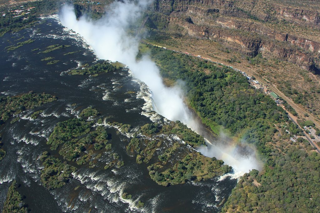 |
| The Falls from the west | |
| Latitude: S 17°55'2,98" | Longitude: E 25°50'49,85" | Altitude: 886 metres | Location: Victoria Falls | State/Province: Matabeleland North | Country: Zimbabwe | Copyright: Ron Harkink | See map | |
| Total images: 6 | Help | |
|
|
|
| The Falls from the west | |
| Latitude: S 17°55'2,98" | Longitude: E 25°50'49,85" | Altitude: 886 metres | Location: Victoria Falls | State/Province: Matabeleland North | Country: Zimbabwe | Copyright: Ron Harkink | See map | |
| Total images: 6 | Help | |